by Wisconsin Wetlands Association | Jun 3, 2024 | News, Wetland Coffee Break
…https://www.pix4d.com/ https://www.pix4d.com/product/pix4dmapper-photogrammetry-software/ Free tutorials: https://support.pix4d.com/hc/en-us/articles/360032118251 SiteScan: https://www.esri.com/en-us/arcgis/products/arcgis-reality/products/site-scan-for-arcgis There are other programs that will process imagery but be aware: the quality will be lower. Do your research about where your data…
by Wisconsin Wetlands Association | Mar 28, 2016
…the Township, Range, and Section. Find and download that layer on EarthPoint. Make sure you have already downloaded and opened Google Earth on your computer before opening the downloaded file….
by Wisconsin Wetlands Association | Oct 3, 2019 | News
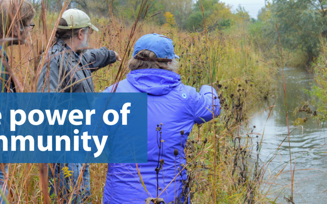
…wetland community. Are we a community? And just what does that mean? How can it inspire us and make our work more powerful and effective? Just what is “community”? Merriam…
by Wisconsin Wetlands Association | Apr 13, 2016
…do that is to spend time in it during every season. It’s important to record what you see, either in a journal or with photos, so that you can compare…
by Wisconsin Wetlands Association | Aug 19, 2016
…encourages users of our website to be take appropriate precautions when leaving our website for other sites. Accessing Confidential Personal Information WWA takes reasonable measures to assure that the Confidential…